
Capital
Paramaribo, on the Suriname River
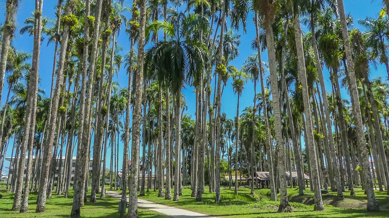
The forested coast of South America
Suriname sits on the Atlantic between Guyana and French Guiana. Most of the country is rainforest. Most visits start in Paramaribo, a UNESCO-listed wooden center, and then follow a river, a reservoir, or the coast.
JvL · CC BY 2.0
Paramaribo, on the Suriname River
Most of the country is rainforest
Dutch is official. Sranan Tongo is everyday speech.
Surinamese dollar (SRD). Cards are uneven outside the city.
Paramaribo, the Central Suriname Nature Reserve, and Jodensavanne
Drier months cluster around February–April and August–November
Read a place, then a way of spending the day, then a route. Nothing here is a reservation. Interior trips depend on boats, small planes, and hosts who work with the communities you want to visit.
From a walkable capital to a reserve you reach by air or a long river.
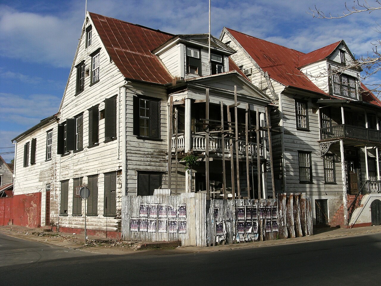
Capital
A wooden UNESCO center on the Suriname River, compact enough to walk, with colonial streets, a market, and places of worship side by side.
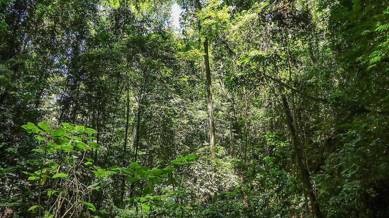
Brokopondo
A vast reservoir and a forested plateau above its eastern shore, south of the city on the Afobaka road.
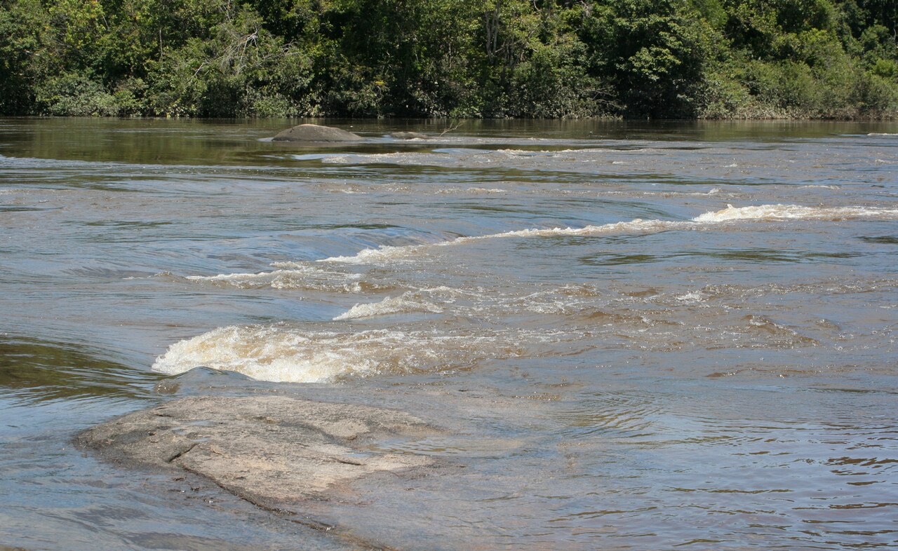
Sipaliwini
Saamaka villages and forest stays reached by boat from Atjoni, south of the reservoir.
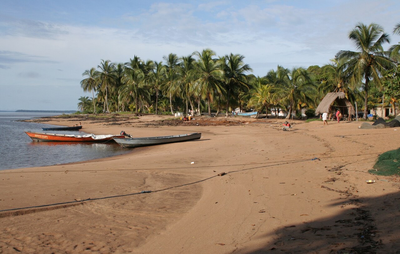
Marowijne
Kali'na villages and a nesting beach for leatherback and green sea turtles, at the mouth of the Marowijne. Seasonal, and only with local guides.
The walk, the meal, and the night. The rest of the country starts after this.
The walk, the meal, and the night. The rest of the country starts after this.
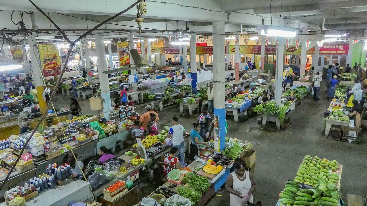
Roti, pom, Javanese plates, peanut soup, and the Central Market. Eating is the clearest way to understand the city.
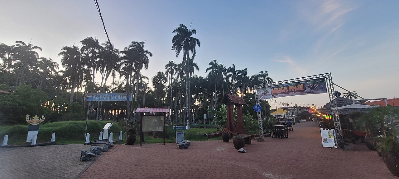
Evenings on Waterkant, live kaseko and karaoke, and a taxi home. Paramaribo goes out on Thursday, Friday, and Saturday.
Wildlife, food, river travel, and visits that belong to the people who live there.
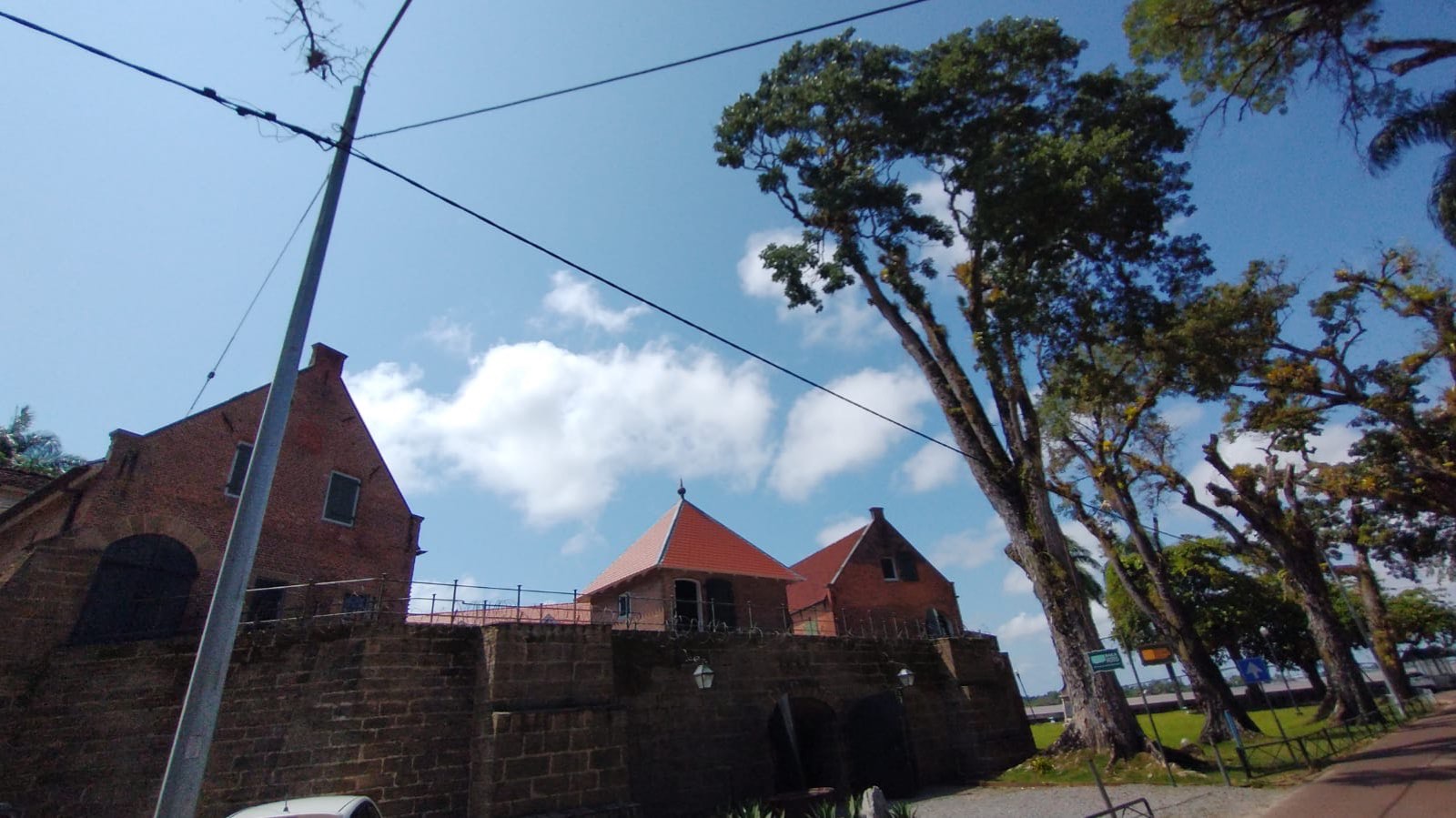
A walk through the wooden UNESCO center: the fort, the cathedral, the synagogue, and the riverfront.
Roti, pom, Javanese plates, peanut soup, and the Central Market. Eating is the clearest way to understand the city.
Evenings on Waterkant, live kaseko and karaoke, and a taxi home. Paramaribo goes out on Thursday, Friday, and Saturday.
The interior is traveled by boat. A korjaal from Atjoni is the ordinary way onto the Upper Suriname.
Howler monkeys, forest birds, and long views over the reservoir or the river. The wildlife is there. It does not perform.
Saamaka villages on the Upper Suriname, and Kali'na villages at Galibi, receive guests on their own terms.
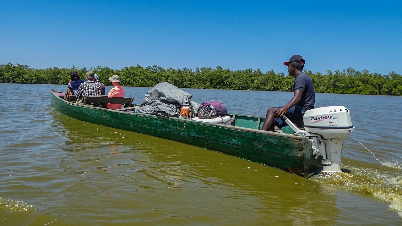
Wetlands, mangroves, and rice fields in Nickerie, plus the seasonal turtle beaches at Galibi.
New Year, Holi, Diwali, and Keti Koti are public life in Paramaribo. Dates follow more than one calendar.
A week, if you have it
Two days in the capital, then a boat south of the reservoir, with Brownsberg as the fallback if the river trip is not confirmed.
Read the seven-day route · 7 days
Two drier seasons, roughly February to April and August to November. Trails and boats still depend on that week’s rain.
International flights land at Johan Adolf Pengel International Airport, about an hour south of Paramaribo.
Dutch is official. Sranan Tongo is part of daily life. English covers some tourist conversations, not all of them.